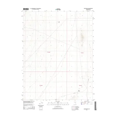
2014 Map of Sunnyside NW
USGS Topo · Published 2014About this map
Hot Creek defines the southern portion of this desert landscape in eastern Nye County, where precious water sources dictated the patterns of movement and life. The presence of Hot Creek Spring and Egan Spring near the eastern margin highlights the vital role of natural springs in an arid environment. These water points are joined by the drainage of Sandy Wash to the north, which likely served as a seasonal conduit through the basin. The road labeled Sunnyside cuts through the southeastern corner, linking this remote terrain to the wider region. This survey captures a moment in the modern era where the land remains primarily defined by its topographical character and the sparse placement of essential water features.
Find a feature on this map
9 named features on this map. Tap any name to fly to it.
Don’t see what you’re looking for? This feature index may not catch every label — zoom into the map to look around manually.
Map Details
Editions of this 2014 Sunnyside NW Map
This is the sole edition of this map. No revisions or reprints were ever made.
Other maps of this area

1956 · Lund
USGS Topo · 1:250,000

1960 · Lund
USGS Topo · 1:250,000

1964 · Currant
USGS Topo · 1:62,500

1964 · Forest Home
USGS Topo · 1:62,500

1969 · Gap Mountain
USGS Topo · 1:24,000

1969 · Sunnyside
USGS Topo · 1:24,000

1969 · Moorman Spring SE
USGS Topo · 1:24,000

1969 · Hot Creek Butte
USGS Topo · 1:24,000

1969 · Sunnyside NW
USGS Topo · 1:24,000

1969 · Moorman Spring
USGS Topo · 1:24,000