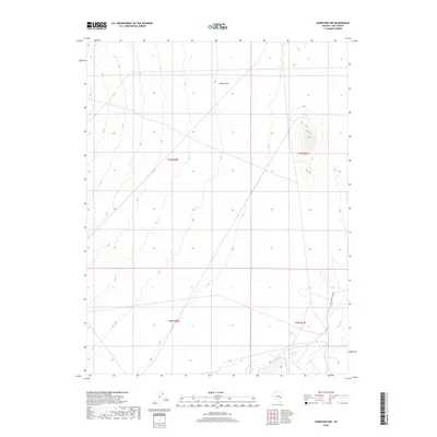
2018 Map of Sunnyside NW
USGS Topo · Published 2018About this map
Hot Creek Spring and Egan Spring anchor the southern reaches of this arid Basin and Range landscape, providing critical water points in the high desert of Nye County. The terrain is defined by the broad drainage of Sandy Wash, which cuts through the central sections of the survey. This 2018 topographic study illustrates the sparse infrastructure of the region, where the remote path of Dave Beacon Camp Dr provides one of the few named access routes through the sagebrush and scrub. The map preserves the township and range divisions, such as t7n r61e and t6n r60e, which help researchers and landowners locate specific parcels and historical grazing or mining boundaries within this expansive Nevada valley.
Find a feature on this map
8 named features on this map. Tap any name to fly to it.
Don’t see what you’re looking for? This feature index may not catch every label — zoom into the map to look around manually.
Map Details
Editions of this 2018 Sunnyside NW Map
This is the sole edition of this map. No revisions or reprints were ever made.
Other maps of this area

1956 · Lund
USGS Topo · 1:250,000

1960 · Lund
USGS Topo · 1:250,000

1964 · Currant
USGS Topo · 1:62,500

1964 · Forest Home
USGS Topo · 1:62,500

1969 · Gap Mountain
USGS Topo · 1:24,000

1969 · Sunnyside
USGS Topo · 1:24,000

1969 · Moorman Spring SE
USGS Topo · 1:24,000

1969 · Hot Creek Butte
USGS Topo · 1:24,000

1969 · Sunnyside NW
USGS Topo · 1:24,000

1969 · Moorman Spring
USGS Topo · 1:24,000