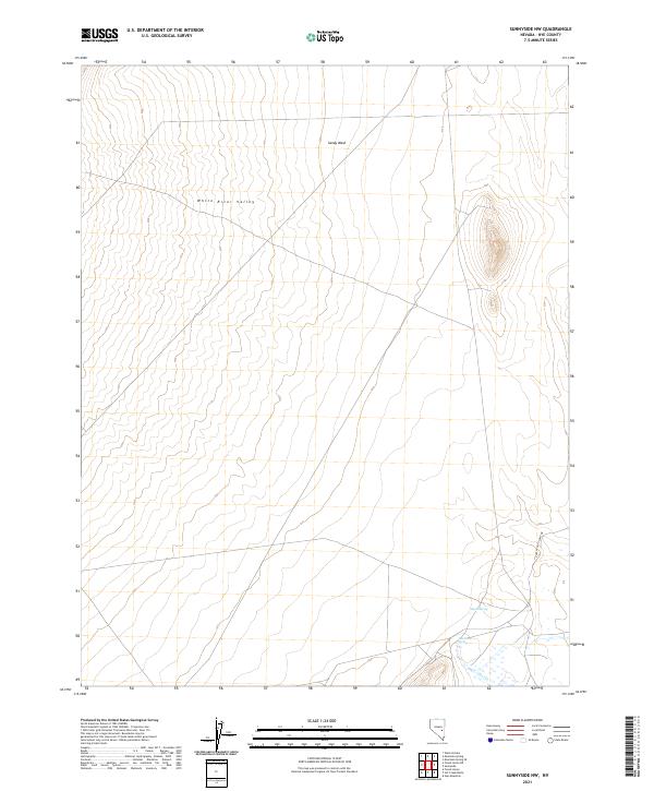
2021 Map of Sunnyside NW
USGS Topo · Published 2021About this map
The White River Valley defines this high-desert basin in Nye County, where water is the primary architect of the settlement pattern. In the southern reach of the quadrangle, Hot Creek Spring and the associated Hot Creek provide a localized riparian environment, a critical resource in the arid Great Basin. Nearby, Egan Spring emerges at the base of the rising terrain, suggesting a landscape where historically reliable water sources dictated the positioning of camps and travel routes.
Find a feature on this map
10 named features on this map. Tap any name to fly to it.
Don’t see what you’re looking for? This feature index may not catch every label — zoom into the map to look around manually.
Map Details
Editions of this 2021 Sunnyside NW Map
This is the sole edition of this map. No revisions or reprints were ever made.
Other maps of this area

1956 · Lund
USGS Topo · 1:250,000

1960 · Lund
USGS Topo · 1:250,000

1964 · Currant
USGS Topo · 1:62,500

1964 · Forest Home
USGS Topo · 1:62,500

1969 · Gap Mountain
USGS Topo · 1:24,000

1969 · Sunnyside
USGS Topo · 1:24,000

1969 · Moorman Spring SE
USGS Topo · 1:24,000

1969 · Hot Creek Butte
USGS Topo · 1:24,000

1969 · Sunnyside NW
USGS Topo · 1:24,000

1969 · Moorman Spring
USGS Topo · 1:24,000