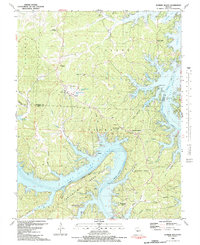
1983 Map of Sunrise Beach
USGS Topo · Published 1983About this map
Lake of the Ozarks dominates this landscape, its serpentine shoreline creating a complex network of bays and coves such as Moonlight Bay and Still Water Bay. The topography is defined by the submerged Osage River channel, with underwater contours sourced from historical 1925 and 1931 Union Electric Company charts. Small communities like Laurie and Sunrise Beach serve as focal points along the Missouri road network, while the interior is dotted with local landmarks including the Shrine of St Patrick and the Hurricane Deck Lookout Tower.
Find a feature on this map
70 named features on this map. Tap any name to fly to it.
Don’t see what you’re looking for? This feature index may not catch every label — zoom into the map to look around manually.
Map Details
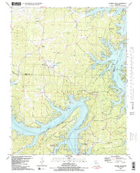
Editions of this 1983 Sunrise Beach Map
2 editions found
Other maps of this area

1888 · Versailles
USGS Topo · 1:125,000

1893 · Versailles
USGS Topo · 1:125,000

1904 · Eldon
USGS Topo · 1:62,500

1904 · Gravois Mills
USGS Topo · 1:62,500

1932 · Versailles No 4
USGS Topo · 1:48,000

1934 · Camdenton
USGS Topo · 1:24,000

1934 · Purvis
USGS Topo · 1:24,000

1934 · Irontown Ferry
USGS Topo · 1:24,000

1934 · Lake Ozark
USGS Topo · 1:24,000

1934 · Green Bay Terrace
USGS Topo · 1:24,000