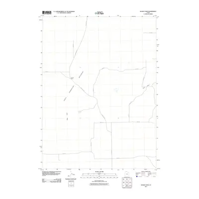
2011 Map of Sunset Pass
USGS Topo · Published 2011About this map
The North Promontory Mountains dominate this high-desert landscape in Box Elder County, where the topography is defined by the sharp rise of Cedar Ridge and the drainage of Sand Hollow. This 2011 survey illustrates a sparse network of section-line roads and unimproved tracks that navigate the elevation changes, most notably at Sunset Pass. The presence of Hereford Spring highlights the critical importance of water sources in this arid environment, likely serving as a historic waypoint for livestock and travelers. The grid of rural routes, including Sunset Pass Rd and 22800 W Rd, provides a clear view of the modern land management and access patterns across these remote foothills and mountain passes.
Find a feature on this map
16 named features on this map. Tap any name to fly to it.
Don’t see what you’re looking for? This feature index may not catch every label — zoom into the map to look around manually.
Map Details
Editions of this 2011 Sunset Pass Map
This is the sole edition of this map. No revisions or reprints were ever made.
Other maps of this area

1954 · Brigham City
USGS Topo · 1:250,000

1958 · Brigham City
USGS Topo · 1:250,000

1961 · Thatcher Mountain
USGS Topo · 1:62,500

1962 · Brigham City
USGS Topo · 1:250,000

1966 · Thatcher Mountain SW
USGS Topo · 1:24,000

1967 · Golden Spike Monument
USGS Topo · 1:24,000

1968 · Rozel
USGS Topo · 1:24,000

1968 · Lake Ridge
USGS Topo · 1:24,000

1968 · Sunset Pass
USGS Topo · 1:24,000

1968 · Howell
USGS Topo · 1:24,000