
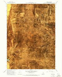
1968 Map of Rozel
USGS Topo · Published 1969About this map
Old Central Pacific Grade cuts across this high desert landscape, tracing the historic path of the first transcontinental railroad through Box Elder County. By the late 1960s, this area remained largely defined by its pioneering transit history and its isolation, anchored by the Golden Spike Nat Historic Site in the east. The topography is dominated by the broad Rozel Flat and the rising elevations of Black Mountain and the Rozel Hills to the south.
Find a feature on this map
10 named features on this map. Tap any name to fly to it.
Don’t see what you’re looking for? This feature index may not catch every label — zoom into the map to look around manually.
Map Details
Editions of this 1968 Rozel Map
2 editions found
Other maps of this area

1954 · Brigham City
USGS Topo · 1:250,000

1958 · Brigham City
USGS Topo · 1:250,000

1962 · Brigham City
USGS Topo · 1:250,000

1967 · Golden Spike Monument
USGS Topo · 1:24,000

1968 · Messix Peak
USGS Topo · 1:24,000

1968 · Lake Ridge
USGS Topo · 1:24,000

1968 · Sunset Pass
USGS Topo · 1:24,000

1968 · Monument Point
USGS Topo · 1:24,000

1968 · Coyote Point
USGS Topo · 1:24,000

1968 · Rozel Point
USGS Topo · 1:24,000