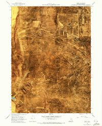
1968 Map of Rozel
USGS Topo · Published 1972About this map
The arid landscape of Box Elder County is defined here by the skeletal remains of the transcontinental railroad era. Two distinct historic alignments, the Old Central Grade and the Old Union Pacific Grade, cut across the rugged terrain of the Rozel Hills and Rozel Flat. These grades represent the intense competition of the late 1860s, leading toward the eventual meeting at Promontory. Near the center of the sheet lies the Rozel (Site), a lonely marker of a former railroad station. The topography is dominated by the volcanic forms of Black Mountain and the vast expanse of the Mud Flat to the northwest. Rare water sources like Coyote Ponds and a solitary Well punctuate the dry basin, illustrating the harsh conditions faced by early surveyors and railroad laborers in this isolated stretch of northern Utah.
Find a feature on this map
17 named features on this map. Tap any name to fly to it.
Don’t see what you’re looking for? This feature index may not catch every label — zoom into the map to look around manually.
Map Details
Editions of this 1968 Rozel Map
2 editions found
Other maps of this area

1954 · Brigham City
USGS Topo · 1:250,000

1958 · Brigham City
USGS Topo · 1:250,000

1962 · Brigham City
USGS Topo · 1:250,000

1967 · Golden Spike Monument
USGS Topo · 1:24,000

1968 · Messix Peak
USGS Topo · 1:24,000

1968 · Rozel
USGS Topo · 1:24,000

1968 · Lake Ridge
USGS Topo · 1:24,000

1968 · Sunset Pass
USGS Topo · 1:24,000

1968 · Monument Point
USGS Topo · 1:24,000

1968 · Coyote Point
USGS Topo · 1:24,000