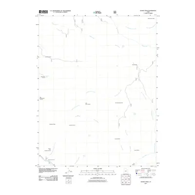
2011 Map of Sunset Peak
USGS Topo · Published 2011About this map
Mine Camp Peak and Sunset Peak anchor the high elevations of this Millard County landscape, defining a terrain of sharp ridges and deep drainage systems. The hydrography is characterized by numerous seasonal and perennial sources such as Walker Spring, Leavitts Spring, and Indian Spring, which feed into a network of creeks including Huncup Creek and Misery Creek. These water sources were vital for early land use in the arid Great Basin environment.
Find a feature on this map
31 named features on this map. Tap any name to fly to it.
Don’t see what you’re looking for? This feature index may not catch every label — zoom into the map to look around manually.
Map Details
Editions of this 2011 Sunset Peak Map
This is the sole edition of this map. No revisions or reprints were ever made.
Other maps of this area

1885 · Beaver
USGS Topo · 1:250,000

1932 · Sevier
USGS Topo · 1:62,500

1935 · Sevier
USGS Topo · 1:62,500

1940 · Monroe
USGS Topo · 1:62,500

1944 · Monroe
USGS Topo · 1:62,500

1953 · Richfield
USGS Topo · 1:250,000

1958 · Richfield
USGS Topo · 1:250,000

1960 · Meadow
USGS Topo · 1:24,000

1961 · Fillmore
USGS Topo · 1:24,000

1961 · Mt. Catherine
USGS Topo · 1:24,000