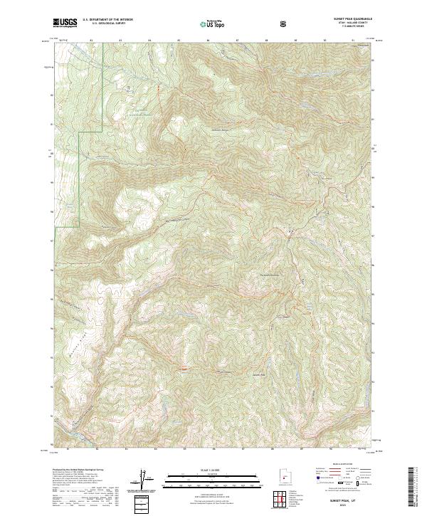
2023 Map of Sunset Peak
USGS Topo · Published 2023About this map
Sunset Peak and Mine Camp Peak anchor this high-elevation segment of the Fishlake National Forest within the Pahvant Range. The landscape is defined by a dense network of forest trails and deep canyons, including the dramatic Sunset Canyon and Big Cottonwood Canyon. Water sources are vital features in this arid high-country terrain, with Walker Spring, Mortensen Spring, and Indian Spring providing necessary relief. A complex system of recreational and pack trails, such as the Devils Armchair Trl and Adelaide Leavitts Trl, weaves through the steep topography, tracing the ridges and drainage basins of Meadow Creek and Corn Creek. The mapping reveals a rugged interior where the The Devils Armchair forms a prominent natural landmark above Huncup Creek, illustrating the intricate erosion patterns and geological character of Millard County's eastern uplands.
Find a feature on this map
48 named features on this map. Tap any name to fly to it.
Don’t see what you’re looking for? This feature index may not catch every label — zoom into the map to look around manually.
Map Details
Editions of this 2023 Sunset Peak Map
This is the sole edition of this map. No revisions or reprints were ever made.
Other maps of this area

1885 · Beaver
USGS Topo · 1:250,000

1932 · Sevier
USGS Topo · 1:62,500

1935 · Sevier
USGS Topo · 1:62,500

1940 · Monroe
USGS Topo · 1:62,500

1944 · Monroe
USGS Topo · 1:62,500

1953 · Richfield
USGS Topo · 1:250,000

1958 · Richfield
USGS Topo · 1:250,000

1960 · Meadow
USGS Topo · 1:24,000

1961 · Fillmore
USGS Topo · 1:24,000

1961 · Mt. Catherine
USGS Topo · 1:24,000