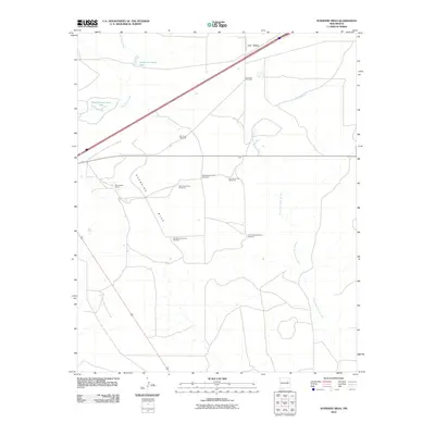
2010 Map of Sunshine Mesa
USGS Topo · Published 2010About this map
Los Tanos sits at the northern edge of this high plains landscape, where the infrastructure of 21st-century ranching meets the drainage systems of the Pecos River basin. The geography is defined by Sunshine Mesa, a broad plateau punctuated by a network of water-management features essential for livestock in this arid environment. Strategic water points such as South Los Tanos Tank and the expansive Nine Hundred Acre Lake are supplemented by numerous named windmills across the range.
Find a feature on this map
15 named features on this map. Tap any name to fly to it.
Don’t see what you’re looking for? This feature index may not catch every label — zoom into the map to look around manually.
Map Details
Editions of this 2010 Sunshine Mesa Map
This is the sole edition of this map. No revisions or reprints were ever made.
Other maps of this area

1892 · Corazon
USGS Topo · 1:125,000

1894 · Corazon
USGS Topo · 1:125,000

1954 · Santa Fe
USGS Topo · 1:250,000

1954 · Fort Sumner
USGS Topo · 1:250,000

1958 · Fort Sumner
USGS Topo · 1:250,000

1958 · Santa Fe
USGS Topo · 1:250,000

1963 · Santa Rosa
USGS Topo · 1:24,000

1963 · Puerto Creek
USGS Topo · 1:24,000

1963 · Sunshine Mesa
USGS Topo · 1:24,000

1963 · Puerto De Luna
USGS Topo · 1:24,000