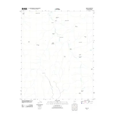
2011 Map of Supai
USGS Topo · Published 2011About this map
Supai is the central settlement in this high-relief landscape, situated where Havasu Creek flows north toward dramatic drops at Navajo Falls and Fiftyfoot Falls. The map reveals the critical intersection of topography and transport, showing the Hualapai Hilltop Hwy terminating at Hualapai Hilltop, the jumping-off point for trails into the canyon systems below. The drainage network is dominated by Cataract Creek and its many deep tributaries, including Lee Canyon and Rattlesnake Canyon. Named landmarks such as Watahomigie Point, Manakacha Point, and Wigieeva define the high mesas and canyon rims, while Havasu Springs provides a rare perennial water source in this arid environment. The presence of Panya Tank and various scattered springs like Willow Spring underscores the necessity of water management for life in this isolated geography.
Find a feature on this map
31 named features on this map. Tap any name to fly to it.
Don’t see what you’re looking for? This feature index may not catch every label — zoom into the map to look around manually.
Map Details
Editions of this 2011 Supai Map
This is the sole edition of this map. No revisions or reprints were ever made.
Other maps of this area

1886 · Kaibab
USGS Topo · 1:250,000

1953 · Grand Canyon
USGS Topo · 1:250,000

1957 · Grand Canyon
USGS Topo · 1:250,000

1958 · Grand Canyon
USGS Topo · 1:250,000

1960 · Grand Canyon
USGS Topo · 1:250,000

1962 · Kanab Point
USGS Topo · 1:62,500

1962 · Tuckup Canyon
USGS Topo · 1:62,500

1962 · Supai
USGS Topo · 1:62,500

1962 · National Canyon
USGS Topo · 1:62,500

1984 · Grand Canyon
USGS Topo · 1:100,000