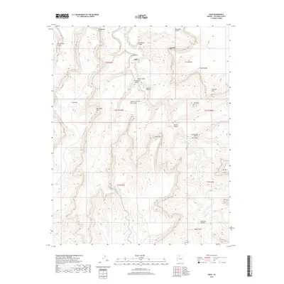
2018 Map of Supai
USGS Topo · Published 2018About this map
Supai stands as the primary settlement within this landscape of complex drainage systems and vertical relief in Coconino County. The convergence of Hualapai Canyon and Havasu Canyon near the village creates a distinct geographical corridor, further shaped by the presence of Havasu Springs and the nearby Fiftyfoot Falls. This 2018 survey documents a region where water sources like Ponya Tank and Willow Spring are critical landmarks among named mesas and points.
Find a feature on this map
36 named features on this map. Tap any name to fly to it.
Don’t see what you’re looking for? This feature index may not catch every label — zoom into the map to look around manually.
Map Details
Editions of this 2018 Supai Map
This is the sole edition of this map. No revisions or reprints were ever made.
Other maps of this area

1886 · Kaibab
USGS Topo · 1:250,000

1953 · Grand Canyon
USGS Topo · 1:250,000

1957 · Grand Canyon
USGS Topo · 1:250,000

1958 · Grand Canyon
USGS Topo · 1:250,000

1960 · Grand Canyon
USGS Topo · 1:250,000

1962 · Kanab Point
USGS Topo · 1:62,500

1962 · Tuckup Canyon
USGS Topo · 1:62,500

1962 · Supai
USGS Topo · 1:62,500

1962 · National Canyon
USGS Topo · 1:62,500

1984 · Grand Canyon
USGS Topo · 1:100,000