
1960 Map of Superior
USGS Topo · Published 1962About this map
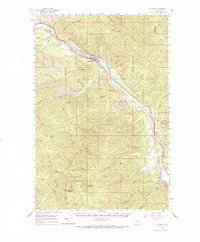
Clark Fork river valley serves as the primary corridor for transportation and settlement in this 1960 Montana survey. The town of Superior occupies a narrow shelf along the river, flanked by the competing lines of the Northern Pacific and the Chicago Milwaukee St Paul and Pacific railroads. This infrastructure supported a regional economy once heavily dependent on timber and mineral extraction, evidenced by the Iron Mountain Mine and various Old Mountain Mines situated deep in the surrounding canyons.
Find a feature on this map
74 named features on this map. Tap any name to fly to it.
Don’t see what you’re looking for? This feature index may not catch every label — zoom into the map to look around manually.
Map Details
Editions of this 1960 Superior Map
2 editions found
Other maps of this area

1911 · Lolo
USGS Topo · 1:250,000

1913 · Lolo
USGS Topo · 1:250,000

1918 · St Regis
USGS Topo · 1:125,000

1919 · St. Regis
USGS Topo · 1:125,000

1956 · St Regis
USGS Topo · 1:62,500

1956 · Wallace
USGS Topo · 1:250,000

1956 · Hamilton
USGS Topo · 1:250,000

1957 · Illinois Peak
USGS Topo · 1:62,500

1959 · Hamilton
USGS Topo · 1:250,000

1959 · Tarkio
USGS Topo · 1:62,500