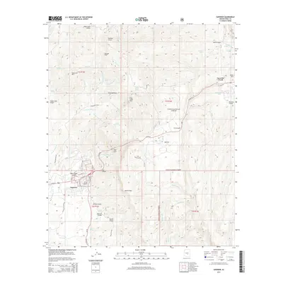
2014 Map of Superior
USGS Topo · Published 2014About this map
Superior sits at the foot of the dramatic cliffs of Apache Leap, serving as a focal point for the mining and transportation history of Pinal County. This 2014 survey details a landscape defined by sharp elevation changes and high-desert water sources, from Wood Camp Canyon in the north to the southern reaches of Donkey Canyon. The infrastructure of the copper industry is evident in the path of Magma Mine Rd and the proximity of Silver King Mine Rd, tracing routes to legendary claims that once drove the local economy.
Find a feature on this map
66 named features on this map. Tap any name to fly to it.
Don’t see what you’re looking for? This feature index may not catch every label — zoom into the map to look around manually.
Map Details
Editions of this 2014 Superior Map
This is the sole edition of this map. No revisions or reprints were ever made.
Other maps of this area

1900 · Florence
USGS Topo · 1:125,000

1901 · Globe
USGS Topo · 1:62,500

1902 · Globe
USGS Topo · 1:62,500

1902 · Florence
USGS Topo · 1:125,000

1910 · Ray
USGS Topo · 1:62,500

1945 · Inspiration
USGS Topo · 1:24,000

1947 · Inspiration
USGS Topo · 1:24,000

1948 · Pinal Ranch
USGS Topo · 1:24,000

1948 · Superior
USGS Topo · 1:62,500

1948 · Superior
USGS Topo · 1:24,000