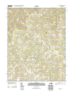
2013 Map of Supply
USGS Topo · Published 2013About this map
Naulakla and its surrounding crossroads communities define this landscape in eastern Caroline County. The map details a rural area dominated by family-named junctions such as Goldmans Corner, Martins Corner, and Daniel Corner, reflecting a long-standing pattern of localized settlement centered on intersection points. The hydrology of the region is characterized by a network of runs and swamps, including the extensive Mason Swamp and Black Water Swamp, which feed into larger watercourses like Portobago Creek.
Find a feature on this map
65 named features on this map. Tap any name to fly to it.
Don’t see what you’re looking for? This feature index may not catch every label — zoom into the map to look around manually.
Map Details
Editions of this 2013 Supply Map
This is the sole edition of this map. No revisions or reprints were ever made.
Other maps of this area

1889 · Fredericksburg
USGS Topo · 1:125,000

1892 · Fredericksburg
USGS Topo · 1:125,000

1894 · Fredericksburg
USGS Topo · 1:125,000

1918 · Doswell
USGS Topo · 1:62,500

1918 · Aylett
USGS Topo · 1:62,500

1933 · Aylett
USGS Topo · 1:62,500

1942 · Bowling Green
USGS Topo · 1:31,680

1942 · Upper Zion
USGS Topo · 1:31,680

1942 · Occupacia
USGS Topo · 1:31,680

1942 · Rollins Fork
USGS Topo · 1:31,680