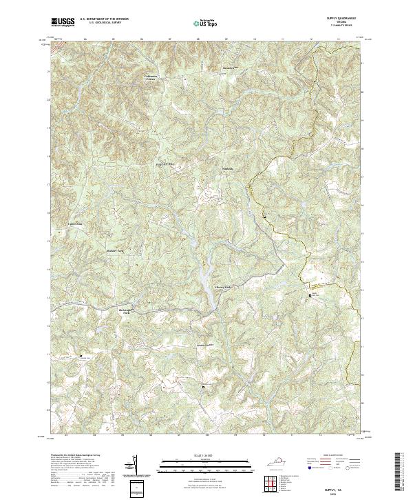
2022 Map of Supply
USGS Topo · Published 2022About this map
Portobago Run and Beverly Run carve through the dissected coastal plain of Caroline County, forming a landscape of narrow ridges and well-watered valleys. In the early 2020s, this area remained characterized by small crossroad settlements and family-named landmarks like Goldmans Corner, Jones Corner, and Hickory Fork. The terrain is defined by its drainages, including Shady Grove Run and Slashbox Run, which dictate the winding paths of local roads such as Dodge City Rd and State Rte 625. Genealogical interests are served by several documented burial sites, including Kay Cem and the Eagles Nest Cem near the Essex County line. The settlement pattern is largely decentralized, with small hamlets like Naulakla and Upper Zion serving as focal points for the surrounding rural communities, while larger water features like Holmes Pond and Jones Pond break up the wooded topography.
Find a feature on this map
61 named features on this map. Tap any name to fly to it.
Don’t see what you’re looking for? This feature index may not catch every label — zoom into the map to look around manually.
Map Details
Editions of this 2022 Supply Map
This is the sole edition of this map. No revisions or reprints were ever made.
Other maps of this area

1889 · Fredericksburg
USGS Topo · 1:125,000

1892 · Fredericksburg
USGS Topo · 1:125,000

1894 · Fredericksburg
USGS Topo · 1:125,000

1918 · Doswell
USGS Topo · 1:62,500

1918 · Aylett
USGS Topo · 1:62,500

1933 · Aylett
USGS Topo · 1:62,500

1942 · Bowling Green
USGS Topo · 1:31,680

1942 · Upper Zion
USGS Topo · 1:31,680

1942 · Occupacia
USGS Topo · 1:31,680

1942 · Rollins Fork
USGS Topo · 1:31,680