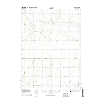
2014 Map of Surprise
USGS Topo · Published 2014About this map
The village of Surprise sits at the junction of the Big Blue River and several local routes, serving as a primary point of interest in this section of Butler County. The map captures the agricultural grid that defines the region, where the river carves a winding path through the landscape, flanked by a series of engineered water management features. South of the town, the Surprise Cemetery and several large reservoirs, including Aldrich Reservoir and Richert Reservoir Number 1, indicate the careful irrigation and water storage necessary for the surrounding prairie farmland. The intersection of Polk, Butler, York, and Seward counties provides a unique administrative crossroads, with drainage systems like Cottonwood Creek and Wildcat Creek following the natural contours of the plains towards the southeast.
Find a feature on this map
47 named features on this map. Tap any name to fly to it.
Don’t see what you’re looking for? This feature index may not catch every label — zoom into the map to look around manually.
Map Details
Editions of this 2014 Surprise Map
This is the sole edition of this map. No revisions or reprints were ever made.
Other maps of this area

1899 · David City
USGS Topo · 1:125,000

1934 · Seward
USGS Topo · 1:48,000

1934 · Utica
USGS Topo · 1:62,500

1937 · Utica
USGS Topo · 1:62,500

1939 · Seward
USGS Topo · 1:62,500

1955 · Fremont
USGS Topo · 1:250,000

1955 · Lincoln
USGS Topo · 1:250,000

1957 · Fremont
USGS Topo · 1:250,000

1957 · Lincoln
USGS Topo · 1:250,000

1958 · Fremont
USGS Topo · 1:250,000