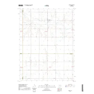
2017 Map of Surprise
USGS Topo · Published 2017About this map
Surprise sits along the winding course of the Big Blue River in Butler County, Nebraska. This 2017 survey shows the town’s grid centered on Main St and Center St, while the surrounding prairie is divided by a network of rural roads such as Little Salt Rd and Agnew Rd. The landscape is defined by the convergence of four counties—Polk, Butler, York, and Seward—which meet in this corner of the state.
Find a feature on this map
29 named features on this map. Tap any name to fly to it.
Don’t see what you’re looking for? This feature index may not catch every label — zoom into the map to look around manually.
Map Details
Editions of this 2017 Surprise Map
This is the sole edition of this map. No revisions or reprints were ever made.
Other maps of this area

1899 · David City
USGS Topo · 1:125,000

1934 · Seward
USGS Topo · 1:48,000

1934 · Utica
USGS Topo · 1:62,500

1937 · Utica
USGS Topo · 1:62,500

1939 · Seward
USGS Topo · 1:62,500

1955 · Fremont
USGS Topo · 1:250,000

1955 · Lincoln
USGS Topo · 1:250,000

1957 · Fremont
USGS Topo · 1:250,000

1957 · Lincoln
USGS Topo · 1:250,000

1958 · Fremont
USGS Topo · 1:250,000