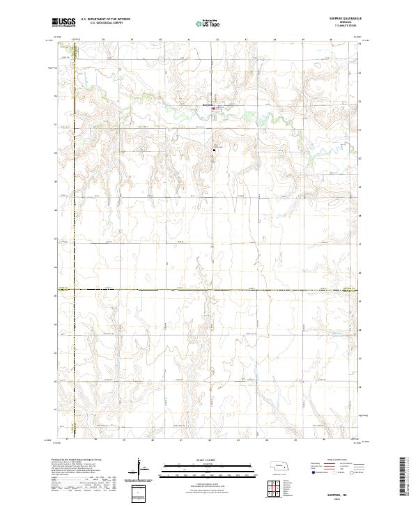
2021 Map of Surprise
USGS Topo · Published 2021About this map
Surprise sits at the heart of this landscape, positioned along the meandering Big Blue River where Main St and Center St anchor the local community. The terrain is defined by a dense network of sectional roads and the convergence of four county boundaries—Polk, Butler, York, and Seward—marking a significant jurisdictional junction in the Nebraska plains. Local history is anchored by the Blue Valley Cem south of town, while the agricultural character is further illustrated by the presence of Aldrich Reservoir and tributary drainage systems including Wildcat Cr and Cottonwood Cr. The grid of county roads like Agnew Rd and Rock Creek Rd reflects the enduring public land survey system that has shaped the region's development for over a century.
Find a feature on this map
35 named features on this map. Tap any name to fly to it.
Don’t see what you’re looking for? This feature index may not catch every label — zoom into the map to look around manually.
Map Details
Editions of this 2021 Surprise Map
This is the sole edition of this map. No revisions or reprints were ever made.
Other maps of this area

1899 · David City
USGS Topo · 1:125,000

1934 · Seward
USGS Topo · 1:48,000

1934 · Utica
USGS Topo · 1:62,500

1937 · Utica
USGS Topo · 1:62,500

1939 · Seward
USGS Topo · 1:62,500

1955 · Fremont
USGS Topo · 1:250,000

1955 · Lincoln
USGS Topo · 1:250,000

1957 · Fremont
USGS Topo · 1:250,000

1957 · Lincoln
USGS Topo · 1:250,000

1958 · Fremont
USGS Topo · 1:250,000