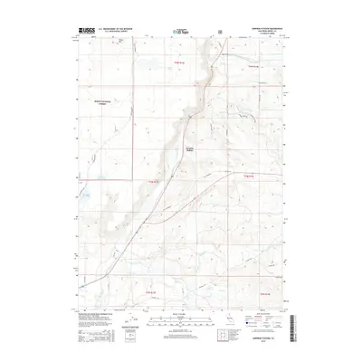
2015 Map of Surprise Station
USGS Topo · Published 2015About this map
Surprise Station sits at a crossroads within the high-desert landscape of northeastern California, where the N Fork Pit River winds through terrain defined by volcanic plateaus and seasonal water storage. This 2015 survey illustrates a region shaped by historical movement and water management, featuring routes like Old Cedarville and the Old Immigrant Trl that trace the paths of early travelers. The western portion of the map is dominated by the Modoc National Forest, where features such as Round Mtn and Leonard Spring rise above the basin.
Find a feature on this map
37 named features on this map. Tap any name to fly to it.
Don’t see what you’re looking for? This feature index may not catch every label — zoom into the map to look around manually.
Map Details
Editions of this 2015 Surprise Station Map
This is the sole edition of this map. No revisions or reprints were ever made.
Other maps of this area

1886 · Alturas
USGS Topo · 1:250,000

1892 · Alturas
USGS Topo · 1:250,000

1954 · Alturas
USGS Topo · 1:250,000

1958 · Alturas
USGS Topo · 1:250,000

1961 · Alturas
USGS Topo · 1:62,500

1962 · Alturas
USGS Topo · 1:250,000

1962 · Davis Creek
USGS Topo · 1:62,500

1962 · Big Sage Reservoir
USGS Topo · 1:62,500

1963 · Shields Creek
USGS Topo · 1:24,000

1963 · Dorris Reservoir
USGS Topo · 1:24,000