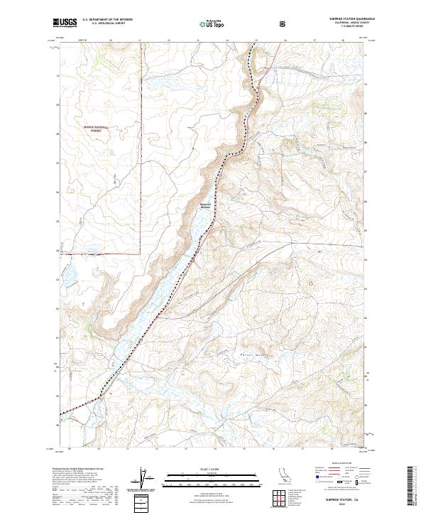
2022 Map of Surprise Station
USGS Topo · Published 2022About this map
The Warner Mountains dominate this high-desert landscape in northeastern California, providing a backdrop for the namesake Surprise Station and the sprawling Modoc National Forest. This region preserves the path of the Old Immigrant Trl, a historic route that reflects the movement of early pioneers through the high plateaus of Modoc County. The water network here is defined by the N Fork Pit River and various tributaries such as Gleason Cr, Joseph Cr, and Thomas Creek. Land use is characterized by cattle ranching and high-altitude water management, evidenced by features like Griener Reservoir, Porter Reservoir, and the appropriately named Trouble Valley. The presence of Dirt Ranch Rd and Old Cedarville Hwy underscores the enduring rural transportation patterns of this remote ranching territory.
Find a feature on this map
44 named features on this map. Tap any name to fly to it.
Don’t see what you’re looking for? This feature index may not catch every label — zoom into the map to look around manually.
Map Details
Editions of this 2022 Surprise Station Map
This is the sole edition of this map. No revisions or reprints were ever made.
Other maps of this area

1886 · Alturas
USGS Topo · 1:250,000

1892 · Alturas
USGS Topo · 1:250,000

1954 · Alturas
USGS Topo · 1:250,000

1958 · Alturas
USGS Topo · 1:250,000

1961 · Alturas
USGS Topo · 1:62,500

1962 · Alturas
USGS Topo · 1:250,000

1962 · Davis Creek
USGS Topo · 1:62,500

1962 · Big Sage Reservoir
USGS Topo · 1:62,500

1963 · Shields Creek
USGS Topo · 1:24,000

1963 · Dorris Reservoir
USGS Topo · 1:24,000