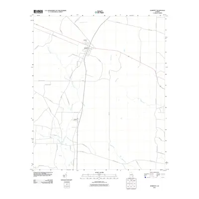
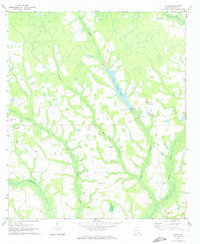
2011 Map of Surrency
USGS Topo · Published 2011About this map
Surrency serves as the central hub of this South Georgia landscape, where agricultural roads and family-named routes intersect near the upper reaches of Little Satilla Creek. The town's layout is defined by its position along the highway, with the Surrency Cemetery situated just to the north. Further south, the Overstreet Cemetery provides a specific point of interest for those researching local lineage.
Find a feature on this map
40 named features on this map. Tap any name to fly to it.
Don’t see what you’re looking for? This feature index may not catch every label — zoom into the map to look around manually.
Map Details
Editions of this 2011 Surrency Map
This is the sole edition of this map. No revisions or reprints were ever made.
Other maps of this area

1953 · Waycross
USGS Topo · 1:250,000

1958 · Waycross
USGS Topo · 1:250,000
1970 · Altamaha SE
USGS Topo · 1:24,000
1970 · Altamaha SW
USGS Topo · 1:24,000

1970 · Baxley
USGS Topo · 1:24,000
1971 · Odum
USGS Topo · 1:24,000

1971 · Surrency
USGS Topo · 1:24,000
1971 · Ritch
USGS Topo · 1:24,000

1971 · Coffee
USGS Topo · 1:24,000

1971 · K'ville
USGS Topo · 1:24,000