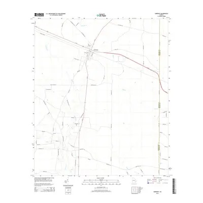
2014 Map of Surrency
USGS Topo · Published 2014About this map
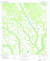
Surrency occupies a central position on this Southeast Georgia landscape, serving as a crossroads where Ga-121 and Ga-27 intersect near the Appling County and Wayne County line. The settlement's local history is anchored by the Surrency Cem in the town center and the Overstreet Cem situated further south along the highway. This area is defined by its complex drainage network, where the Little Satilla Cr flows through the northern reaches while Boggy Cr and Colemans Cr meander through the timbered lowlands. The rural infrastructure is visible through a grid of local corridors like Old Surrency Rd and various forest breaks, reflecting the agricultural and silvicultural character of the region. Notable water features such as Reedy Cr and Dry Cr illustrate the seasonal hydrology of these flatwoods.
Find a feature on this map
65 named features on this map. Tap any name to fly to it.
Don’t see what you’re looking for? This feature index may not catch every label — zoom into the map to look around manually.
Map Details
Editions of this 2014 Surrency Map
This is the sole edition of this map. No revisions or reprints were ever made.
Other maps of this area

1953 · Waycross
USGS Topo · 1:250,000

1958 · Waycross
USGS Topo · 1:250,000
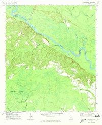
1970 · Altamaha SE
USGS Topo · 1:24,000
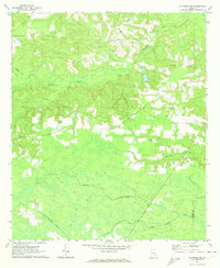
1970 · Altamaha SW
USGS Topo · 1:24,000

1970 · Baxley
USGS Topo · 1:24,000
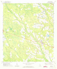
1971 · Odum
USGS Topo · 1:24,000

1971 · Surrency
USGS Topo · 1:24,000
1971 · Ritch
USGS Topo · 1:24,000

1971 · Coffee
USGS Topo · 1:24,000

1971 · K'ville
USGS Topo · 1:24,000