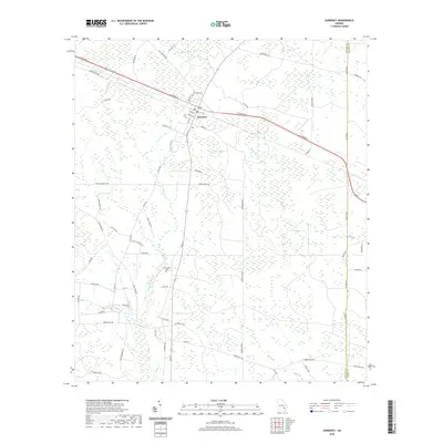
2020 Map of Surrency
USGS Topo · Published 2020About this map
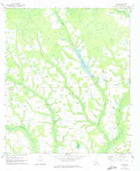
The town of Surrency sits as the central point of this modern survey of Appling and Wayne counties. The landscape is defined by the headwaters and branches of the South Georgia coastal plain, where Little Satilla Cr and Colemans Cr thread through a network of rural roads. The grid of forest and field is punctuated by local heritage sites, including Surrency Cem just north of the town center and Overstreet Cem situated further south near Jerry Rd. Transportation follows a mix of established corridors like E Parker St and numerous named local routes such as Still St and Holmesville Rd, which connect the scattered homesteads and timberlands. The eastern boundary is marked by the distinct line of Co Line Rd, separating the Appling and Wayne county jurisdictions.
Find a feature on this map
64 named features on this map. Tap any name to fly to it.
Don’t see what you’re looking for? This feature index may not catch every label — zoom into the map to look around manually.
Map Details
Editions of this 2020 Surrency Map
This is the sole edition of this map. No revisions or reprints were ever made.
Other maps of this area

1953 · Waycross
USGS Topo · 1:250,000

1958 · Waycross
USGS Topo · 1:250,000
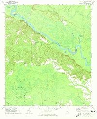
1970 · Altamaha SE
USGS Topo · 1:24,000
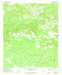
1970 · Altamaha SW
USGS Topo · 1:24,000

1970 · Baxley
USGS Topo · 1:24,000
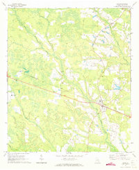
1971 · Odum
USGS Topo · 1:24,000

1971 · Surrency
USGS Topo · 1:24,000
1971 · Ritch
USGS Topo · 1:24,000

1971 · Coffee
USGS Topo · 1:24,000

1971 · K'ville
USGS Topo · 1:24,000