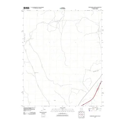
2010 Map of Surrender Canyon
USGS Topo · Published 2010About this map
Surrender Canyon and the surrounding high desert terrain define this survey of the New Mexico and Arizona borderlands. The landscape is dominated by the broad Oak Spring Valley and marked by the distinctive Tea Pot landform, illustrating the geological character of the Fort Defiance Agency region. Transportation in the early twenty-first century follows established corridors like Indian Rte 12 and Aspen Canyon Rd, which navigate the drainage patterns of Black Creek and the Puerco River. The presence of Bowman Memorial Park serves as a localized landmark within this otherwise sparse network of roads and canyons. The map documents the physical geography of the Navajo Nation interior, showing the transition from canyon floors to upland reaches along Low Mesa Rd.
Find a feature on this map
9 named features on this map. Tap any name to fly to it.
Don’t see what you’re looking for? This feature index may not catch every label — zoom into the map to look around manually.
Map Details
Editions of this 2010 Surrender Canyon Map
This is the sole edition of this map. No revisions or reprints were ever made.
Other maps of this area

1886 · Wingate
USGS Topo · 1:250,000

1886 · Fort Defiance
USGS Topo · 1:250,000

1892 · Fort Defiance
USGS Topo · 1:250,000

1892 · Wingate
USGS Topo · 1:250,000

1954 · Gallup
USGS Topo · 1:250,000

1958 · Gallup
USGS Topo · 1:250,000

1959 · Gallup
USGS Topo · 1:250,000

1962 · Gallup
USGS Topo · 1:250,000

1963 · Manuelito
USGS Topo · 1:24,000

1963 · Jones Ranch School
USGS Topo · 1:24,000