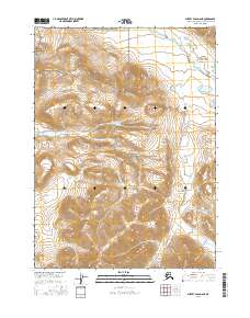
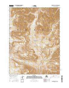
2016 Map of Survey Pass D-6 NE
USGS Topo · Published 2016About this map
Gates of the Arctic National Park covers the central portion of this survey, representing a remote reach of the Brooks Range where the landscape is defined by dramatic elevation changes. To the north, the Noatak National Preserve encompasses the high country, with the Killik River flowing through the northeastern corner. The map documents the intricate drainage patterns and steep terrain within these protected wilderness areas, illustrating the untouched character of the Northwest Arctic at the time of the 2016 survey. This topographic study is particularly valuable for understanding the boundary relationship between two of Alaska's most significant federal wilderness units, captured before any modern infrastructure altered the landscape.
Find a feature on this map
7 named features on this map. Tap any name to fly to it.
Don’t see what you’re looking for? This feature index may not catch every label — zoom into the map to look around manually.
Map Details
Editions of this 2016 Survey Pass D-6 NE Map
This is the sole edition of this map. No revisions or reprints were ever made.
Other maps of this area

1951 · Survey Pass
USGS Topo · 1:250,000

1951 · Killik River
USGS Topo · 1:250,000

1956 · Survey Pass
USGS Topo · 1:250,000

1956 · Killik River
USGS Topo · 1:250,000

1964 · Survey Pass
USGS Topo · 1:250,000

1966 · Survey Pass
USGS Topo · 1:250,000
1984 · Killik River A-5
USGS Topo · 1:63,360
1984 · Survey Pass D-6
USGS Topo · 1:63,360
1986 · Survey Pass D-5
USGS Topo · 1:63,360
2016 · Survey Pass D-6 SE
USGS Topo · 1:25,000