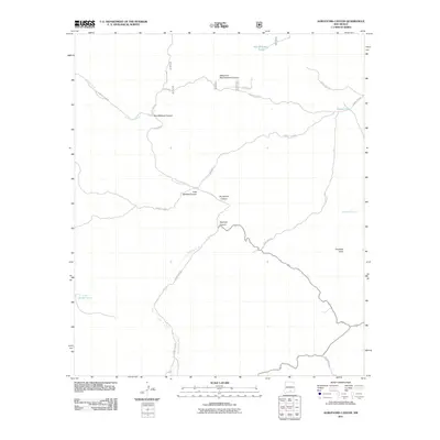
2011 Map of Surveyors Canyon
USGS Topo · Published 2011About this map
The Sacramento River carves a winding path through this corner of Otero County, serving as the primary hydrological feature in a landscape defined by deep drainage systems. The terrain is marked by numerous significant cuts, most notably Surveyors Canyon and Wayland Canyon, which converge in the central portion of the map. High points like Chatfield Peak overlook an area where water management is critical, as evidenced by several livestock or irrigation structures such as Ben Williams Tank and Stevens Lake. The map reveals a network of high-clearance routes and forest roads, including County Rd E013 and Forest Rd 537, which navigate the various forks and peaks. This 2011 survey illustrates the modern configuration of access roads and land use in this mountainous region, highlighting the naming conventions of the local geography through features like East McAfee Canyon.
Find a feature on this map
20 named features on this map. Tap any name to fly to it.
Don’t see what you’re looking for? This feature index may not catch every label — zoom into the map to look around manually.
Map Details
Editions of this 2011 Surveyors Canyon Map
This is the sole edition of this map. No revisions or reprints were ever made.
Other maps of this area

1954 · Carlsbad
USGS Topo · 1:250,000

1958 · Carlsbad
USGS Topo · 1:250,000

1963 · Indian Draw
USGS Topo · 1:24,000

1965 · Bear Spring
USGS Topo · 1:24,000

1965 · Surveyors Canyon
USGS Topo · 1:24,000

1965 · Avis
USGS Topo · 1:24,000

1965 · Rogers Ruins
USGS Topo · 1:24,000

1965 · El Paso Canyon
USGS Topo · 1:24,000

1965 · Pinon
USGS Topo · 1:24,000

1979 · Alamogordo
USGS Topo · 1:100,000