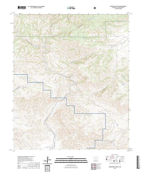
2023 Map of Surveyors Canyon
USGS Topo · Published 2023About this map
The Lincoln National Forest dominates this landscape in Otero County, where high-altitude terrain is carved by a network of drainage systems. The Sacramento River flows through the center of the region, flanked by prominent landforms such as Chatfield Peak and deep incisions like Surveyors Canyon. The map reveals a high-desert or mountain ranching infrastructure, evidenced by numerous water catchments including Stevens Lake, Ben Williams Tank, and Kimmons Tank.
Find a feature on this map
32 named features on this map. Tap any name to fly to it.
Don’t see what you’re looking for? This feature index may not catch every label — zoom into the map to look around manually.
Map Details
Editions of this 2023 Surveyors Canyon Map
This is the sole edition of this map. No revisions or reprints were ever made.
Other maps of this area

1954 · Carlsbad
USGS Topo · 1:250,000

1958 · Carlsbad
USGS Topo · 1:250,000

1963 · Indian Draw
USGS Topo · 1:24,000

1965 · Bear Spring
USGS Topo · 1:24,000

1965 · Surveyors Canyon
USGS Topo · 1:24,000

1965 · Avis
USGS Topo · 1:24,000

1965 · Rogers Ruins
USGS Topo · 1:24,000

1965 · El Paso Canyon
USGS Topo · 1:24,000

1965 · Pinon
USGS Topo · 1:24,000

1979 · Alamogordo
USGS Topo · 1:100,000