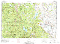
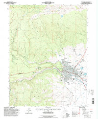
1962 Map of Susanville
USGS Topo · Published 1974About this map
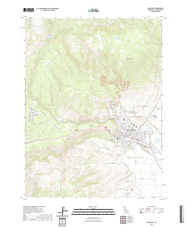
Lassen Volcanic National Park dominates the western portion of this 1962 survey, showcasing a high-altitude volcanic landscape centered on Lassen Peak and the thermal features of Chaos Crags. The region is defined by its transition from the alpine terrain of the Lassen National Forest to the expansive desert basins of the Madeline Plains and the Honey Lake Valley to the east. Major water bodies like Lake Almanor, Eagle Lake, and Honey Lake anchor the settlement patterns, with the commercial hub of Susanville serving as a primary rail and road junction.
Find a feature on this map
228 named features on this map. Tap any name to fly to it.
Don’t see what you’re looking for? This feature index may not catch every label — zoom into the map to look around manually.
Map Details
Editions of this 1962 Susanville Map
2 editions found

Historical Maps of Susanville Through Time
10 maps found
1954 Susanville
Lassen County, CA
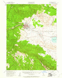
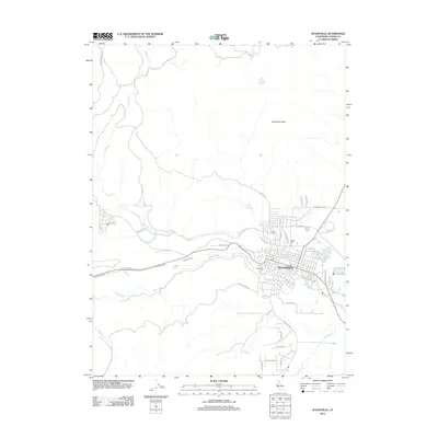
1962 Susanville
Lassen County, CA

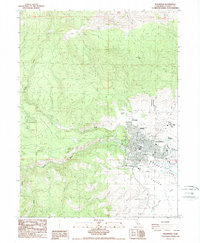
1968 Susanville
Lassen County, CA
1984 Susanville
Lassen County, CA
1988 Susanville
Lassen County, CA
1995 Susanville
Lassen County, CA
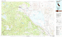
2012 Susanville
Lassen County, CA
2015 Susanville
Lassen County, CA
2018 Susanville
Lassen County, CA
2021 Susanville
Lassen County, CA