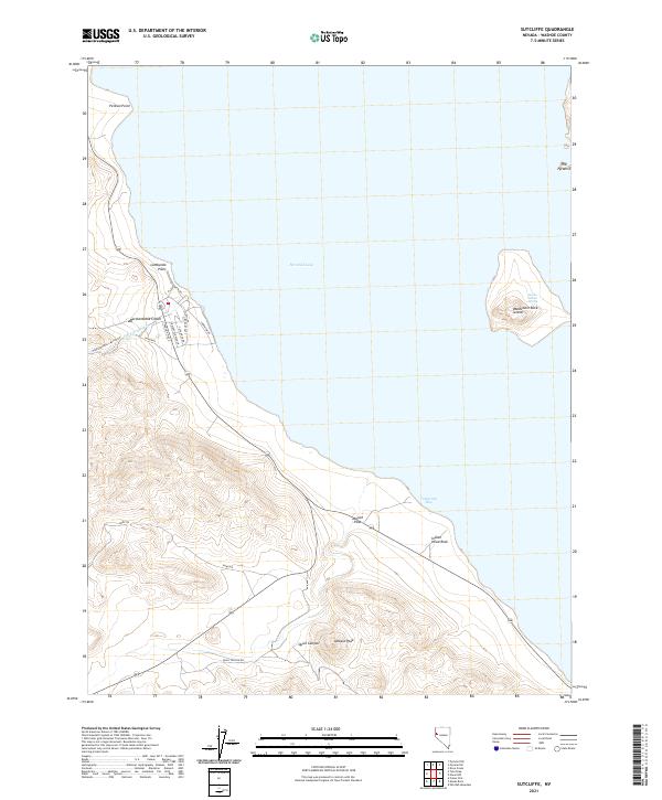
2021 Map of Sutcliffe
USGS Topo · Published 2021About this map
Pyramid Lake dominates this Nevada landscape, where the waters meet a complex shoreline of points and islands. Along the western bank, the small community of Sutcliffe is defined by residential roads like Lakeview Dr, Phoenix Way, and Sutcliffe Dr, serving as a gateway to the water. The map documents an area where natural resource management is evident at the Fisheries near the mouth of Hardscrabble Cr.
Find a feature on this map
26 named features on this map. Tap any name to fly to it.
Don’t see what you’re looking for? This feature index may not catch every label — zoom into the map to look around manually.
Map Details
Editions of this 2021 Sutcliffe Map
This is the sole edition of this map. No revisions or reprints were ever made.
Other maps of this area

1886 · Granite Range
USGS Topo · 1:250,000

1890 · Wadsworth
USGS Topo · 1:125,000

1891 · Reno
USGS Topo · 1:125,000

1892 · Wadsworth
USGS Topo · 1:125,000

1893 · Reno
USGS Topo · 1:125,000

1894 · Granite Range
USGS Topo · 1:250,000

1894 · Wadsworth
USGS Topo · 1:125,000

1955 · Lovelock
USGS Topo · 1:250,000

1957 · Sutcliffe
USGS Topo · 1:62,500

1957 · Nixon
USGS Topo · 1:62,500