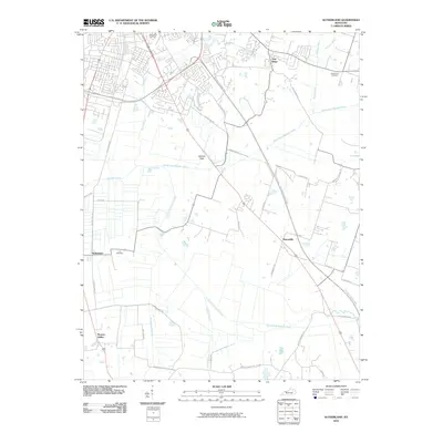
2010 Map of Sutherland
USGS Topo · Published 2010About this map
North Fork Panther Creek and South Fork Panther Creek converge in this agricultural landscape just south of Owensboro, defining the drainage patterns that shaped local settlement. Small communities like Masonville and Sutherland anchor a network of rural roads, including historic thoroughfares such as London Pike and the Old Hartford Road. The modern William H Natcher Parkway bisects the terrain, contrasting the older, winding routes that follow the natural topography. Genealogists will find significant points of interest in established burial grounds like Rose Hill Cemetery, Hix Cemetery, and Holy Cross Cemetery. The map also captures several smaller creeks and ditches, such as Twomile Creek and Williams Ditch, illustrating the managed water system required for farming in these flats.
Find a feature on this map
40 named features on this map. Tap any name to fly to it.
Don’t see what you’re looking for? This feature index may not catch every label — zoom into the map to look around manually.
Map Details
Editions of this 2010 Sutherland Map
This is the sole edition of this map. No revisions or reprints were ever made.
Other maps of this area

1901 · Owensboro
USGS Topo · 1:62,500

1903 · Tell City
USGS Topo · 1:62,500

1906 · Sutherland
USGS Topo · 1:62,500

1907 · Whitesville
USGS Topo · 1:62,500

1909 · Whitesville
USGS Topo · 1:62,500

1952 · Owensboro East
USGS Topo · 1:24,000

1952 · Owensboro West
USGS Topo · 1:24,000

1953 · Philpot
USGS Topo · 1:24,000

1953 · Sutherland
USGS Topo · 1:24,000

1953 · Utica
USGS Topo · 1:24,000