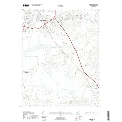
2019 Map of Sutherland
USGS Topo · Published 2019About this map
Owensboro expands southward across this landscape, where residential developments meet the alluvial bottomlands of Panther Cr. The terrain is defined by the complex drainage of the N Fork Panther Cr and S Fork Panther Cr, which meander through a mix of agricultural fields and expanding neighborhoods. Prominent local landmarks include Rose Hill Cem and Holy Cross Cem, serving as critical touchpoints for genealogical research in Daviess County. The map details smaller established settlements such as Masonville, Sutherland, and Browns Valley, which grew along the highway corridors radiating from the city center. Low-lying areas like Jackson Flats and engineered features like Williams Ditch reveal the long-standing efforts to manage the water table in this part of the Ohio River Valley watershed.
Find a feature on this map
114 named features on this map. Tap any name to fly to it.
Don’t see what you’re looking for? This feature index may not catch every label — zoom into the map to look around manually.
Map Details
Editions of this 2019 Sutherland Map
This is the sole edition of this map. No revisions or reprints were ever made.
Other maps of this area

1901 · Owensboro
USGS Topo · 1:62,500

1903 · Tell City
USGS Topo · 1:62,500

1906 · Sutherland
USGS Topo · 1:62,500

1907 · Whitesville
USGS Topo · 1:62,500

1909 · Whitesville
USGS Topo · 1:62,500

1952 · Owensboro East
USGS Topo · 1:24,000

1952 · Owensboro West
USGS Topo · 1:24,000

1953 · Philpot
USGS Topo · 1:24,000

1953 · Sutherland
USGS Topo · 1:24,000

1953 · Utica
USGS Topo · 1:24,000