
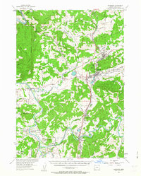
1954 Map of Sutherlin
USGS Topo · Published 1956About this map
The confluence of the North Umpqua River and South Umpqua River defines this Douglas County landscape in the mid-1950s. The Southern Pacific railroad and the Pacific Highway form a primary transportation corridor through the valley, linking established settlements like Oakland, Sutherlin, and Wilbur. This era shows a transition in local industry, with the Camas Logging RR extending eastward from Sutherlin into the timber-rich highlands, while the fertile bottomlands of Garden Valley support agricultural communities near Riversdale and Cleveland.
Find a feature on this map
67 named features on this map. Tap any name to fly to it.
Don’t see what you’re looking for? This feature index may not catch every label — zoom into the map to look around manually.
Map Details
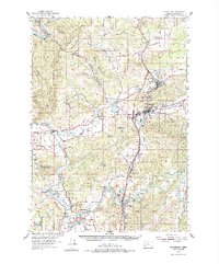
Editions of this 1954 Sutherlin Map
3 editions found
Other maps of this area

1897 · Roseburg
USGS Topo · 1:125,000

1900 · Roseburg
USGS Topo · 1:125,000

1928 · Sitkum
USGS Topo · 1:125,000

1954 · Dixonville
USGS Topo · 1:62,500

1954 · Drain
USGS Topo · 1:62,500

1954 · Anlauf
USGS Topo · 1:62,500

1954 · Glide
USGS Topo · 1:62,500

1955 · Camas Valley
USGS Topo · 1:62,500

1955 · Tyee
USGS Topo · 1:62,500

1955 · Roseburg
USGS Topo · 1:62,500