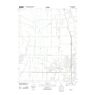
2012 Map of Sutter
USGS Topo · Published 2012About this map
Sutter serves as a primary hub in this 2012 survey of Sutter County, California, where the landscape is defined by an intricate network of water management. The Sutter Cem and a nearby Post Office anchor the community, while the surrounding terrain is heavily influenced by the Wadsworth Canal, Sutter County Extension Canal, and both the East Interception Canal and West Interception Canal. These engineered waterways crisscross the valley alongside natural features like Morrison Slough and the Snake River. To the east, the Feather River forms a natural boundary near Sullivan. The map captures the spatial relationship between established settlements like Encinal, Nuestro, and Lomo and the growing residential footprints of Tierra Buena and Alemandra. This region illustrates the intersection of traditional agricultural water rights and modern suburban expansion in the Sacramento Valley.
Find a feature on this map
85 named features on this map. Tap any name to fly to it.
Don’t see what you’re looking for? This feature index may not catch every label — zoom into the map to look around manually.
Map Details
Editions of this 2012 Sutter Map
This is the sole edition of this map. No revisions or reprints were ever made.
Other maps of this area

1888 · Marysville
USGS Topo · 1:125,000

1891 · Marysville
USGS Topo · 1:125,000

1894 · Marysville
USGS Topo · 1:125,000

1895 · Marysville
USGS Topo · 1:125,000

1911 · Sutter
USGS Topo · 1:31,680
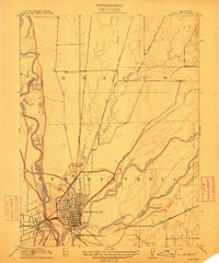
1911 · Yuba City
USGS Topo · 1:31,680

1911 · Gilsizer Slough
USGS Topo · 1:31,680
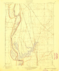
1911 · Ostrom
USGS Topo · 1:31,680

1912 · Marysville Buttes
USGS Topo · 1:31,680

1912 · Pennington
USGS Topo · 1:31,680