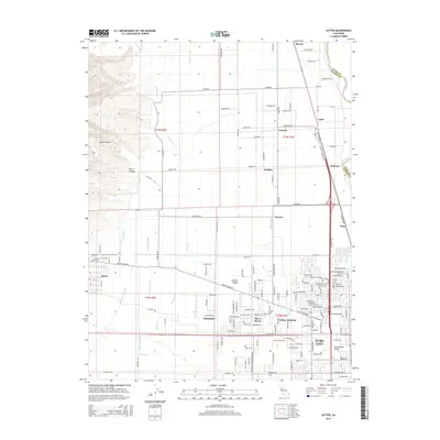
2015 Map of Sutter
USGS Topo · Published 2015About this map
The western slopes of the Sutter Buttes and the deeply etched Kinch Canyon meet a landscape defined by an intricate network of irrigation and drainage. This 2015 study shows how the agricultural heritage of the Sacramento Valley is maintained through features like the Wadsworth Canal, Sutter City Lateral, and Morrison Slough. These water systems crisscross the fertile land between the Snake River to the west and the Feather River forming the eastern boundary.
Find a feature on this map
71 named features on this map. Tap any name to fly to it.
Don’t see what you’re looking for? This feature index may not catch every label — zoom into the map to look around manually.
Map Details
Editions of this 2015 Sutter Map
This is the sole edition of this map. No revisions or reprints were ever made.
Other maps of this area

1888 · Marysville
USGS Topo · 1:125,000

1891 · Marysville
USGS Topo · 1:125,000

1894 · Marysville
USGS Topo · 1:125,000

1895 · Marysville
USGS Topo · 1:125,000

1911 · Sutter
USGS Topo · 1:31,680
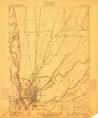
1911 · Yuba City
USGS Topo · 1:31,680

1911 · Gilsizer Slough
USGS Topo · 1:31,680
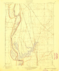
1911 · Ostrom
USGS Topo · 1:31,680

1912 · Marysville Buttes
USGS Topo · 1:31,680

1912 · Pennington
USGS Topo · 1:31,680