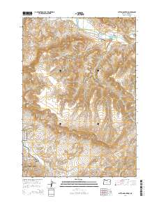
2014 Map of Sutton Mountain
USGS Topo · Published 2014About this map
The John Day Fossil Beds National Monument anchors the southwestern reaches of this Wheeler County landscape, marking a terrain defined by significant elevation shifts and historical watercourses. The John Day River snakes through the northern sections, passing Goose Point and the isolated Collins Landing Strip Airport. This 2014 survey documents a network of remote ranch and access roads, including S Twickenham Rd and Burnt Ranch Rd, which navigate the steep topography between Sutton Mountain and Gilchrist Valley. Local landmarks like Packsaddle Mtn, Black Canyon, and Rocky Top stand as prominent navigation points in a region where water sources like Chapman Spring and drainages such as Girds Cr have long dictated the patterns of movement and land use.
Find a feature on this map
25 named features on this map. Tap any name to fly to it.
Don’t see what you’re looking for? This feature index may not catch every label — zoom into the map to look around manually.
Map Details
Editions of this 2014 Sutton Mountain Map
This is the sole edition of this map. No revisions or reprints were ever made.
Other maps of this area

1926 · Mitchell
USGS Topo · 1:125,000

1955 · Bend
USGS Topo · 1:250,000

1957 · Bend
USGS Topo · 1:250,000

1958 · Bend
USGS Topo · 1:250,000

1966 · Mitchell
USGS Topo · 1:62,500

1966 · Kinzua
USGS Topo · 1:62,500

1966 · Clarno
USGS Topo · 1:62,500

1968 · Painted Hills
USGS Topo · 1:24,000

1968 · Lawson Mtn
USGS Topo · 1:24,000

1981 · Stephenson Mountain
USGS Topo · 1:100,000