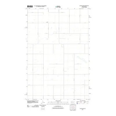
2011 Map of Sutton SW
USGS Topo · Published 2011About this map
Mabel Cemetery stands as the primary landmark in this rural stretch of North Dakota, situated near the intersection of 4th St SE and 98th Ave SE. The landscape is defined by the strict rectilinear organization of the Public Land Survey System, with roads such as 11th St SE and 101st Ave SE marking mile-interval boundaries across the prairie. This 2011 survey by the U.S. Geological Survey shows a network of intermittent water bodies and prairie potholes scattered between the section lines, particularly along 5th St SE. The map provides a clear record of the modern transportation grid and land use patterns in this part of Stutsman County, highlighting the isolation and preservation of local family and community history sites in an agricultural environment.
Find a feature on this map
16 named features on this map. Tap any name to fly to it.
Don’t see what you’re looking for? This feature index may not catch every label — zoom into the map to look around manually.
Map Details
Editions of this 2011 Sutton SW Map
This is the sole edition of this map. No revisions or reprints were ever made.
Other maps of this area

1900 · Pingree
USGS Topo · 1:125,000

1951 · Courtenay
USGS Topo · 1:24,000

1951 · Kensal SE
USGS Topo · 1:24,000

1951 · Glenfield
USGS Topo · 1:24,000

1952 · New Rockford
USGS Topo · 1:250,000

1956 · New Rockford
USGS Topo · 1:250,000

1961 · Sutton
USGS Topo · 1:24,000

1961 · Revere
USGS Topo · 1:24,000

1961 · Wimbledon
USGS Topo · 1:24,000

1961 · Wimbledon NE
USGS Topo · 1:24,000