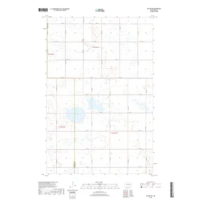
2018 Map of Sutton SW
USGS Topo · Published 2018About this map
Glacial wetlands and prairie potholes define this landscape along the border of Griggs Co and Stutsman Co. The terrain is characterized by hundreds of small depressions and seasonal water bodies, indicating the geologic history of the Missouri Coteau region. Human settlement is sparse, marked primarily by a rigid section-line road network including 3rd St SE and 11th St SE, which facilitate access across this agricultural expanse. A notable point of local history is the Mabel Cem, situated along 4th St SE, serving as a silent record of the families who settled these townships. The map illustrates the 21st-century state of this rural North Dakota interior, where the land use remains almost exclusively tied to the seasonal cycles of the prairie.
Find a feature on this map
16 named features on this map. Tap any name to fly to it.
Don’t see what you’re looking for? This feature index may not catch every label — zoom into the map to look around manually.
Map Details
Editions of this 2018 Sutton SW Map
This is the sole edition of this map. No revisions or reprints were ever made.
Other maps of this area

1900 · Pingree
USGS Topo · 1:125,000

1951 · Courtenay
USGS Topo · 1:24,000

1951 · Kensal SE
USGS Topo · 1:24,000

1951 · Glenfield
USGS Topo · 1:24,000

1952 · New Rockford
USGS Topo · 1:250,000

1956 · New Rockford
USGS Topo · 1:250,000

1961 · Sutton
USGS Topo · 1:24,000

1961 · Revere
USGS Topo · 1:24,000

1961 · Wimbledon
USGS Topo · 1:24,000

1961 · Wimbledon NE
USGS Topo · 1:24,000