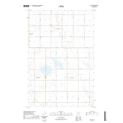
2020 Map of Sutton SW
USGS Topo · Published 2020About this map
The prairie landscape of the central Dakotas is defined here by the administrative boundary between Stutsman Co and Griggs Co, which runs north-south through a region dominated by glacial depressions and seasonal wetlands. The rural survey is anchored by Mabel Cem, a significant marker for local genealogical research located along 4th St SE. This grid of section roads, including 98th Ave SE and 11th St SE, illustrates the persistent township and range system that organized agricultural settlement in this part of North Dakota. The map reveals the intricate water patterns of the Prairie Pothole Region, showing numerous unnamed ponds and marshy areas that characterize the terrain between the modern county lines.
Find a feature on this map
24 named features on this map. Tap any name to fly to it.
Don’t see what you’re looking for? This feature index may not catch every label — zoom into the map to look around manually.
Map Details
Editions of this 2020 Sutton SW Map
This is the sole edition of this map. No revisions or reprints were ever made.
Other maps of this area

1900 · Pingree
USGS Topo · 1:125,000

1951 · Courtenay
USGS Topo · 1:24,000

1951 · Kensal SE
USGS Topo · 1:24,000

1951 · Glenfield
USGS Topo · 1:24,000

1952 · New Rockford
USGS Topo · 1:250,000

1956 · New Rockford
USGS Topo · 1:250,000

1961 · Sutton
USGS Topo · 1:24,000

1961 · Revere
USGS Topo · 1:24,000

1961 · Wimbledon
USGS Topo · 1:24,000

1961 · Wimbledon NE
USGS Topo · 1:24,000