
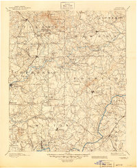
1894 Map of Suwanee
USGS Topo · Published 1894About this map
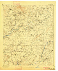
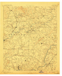
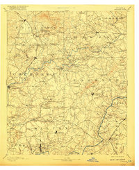
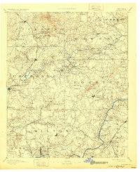
The gold mining and quarrying districts of North Georgia define this late nineteenth-century landscape, characterized by the heavy industry along the Marietta and North Georgia Railroad and the banks of the Etowah River. Extractive operations are prominent, including the Franklin Gold Mine near Creighton and the Kin Mori Gold Mine further north. In the mountainous northern reaches of the sheet, Marble Hall and various quarries near Tate indicate the region's significant geological wealth.
Find a feature on this map
149 named features on this map. Tap any name to fly to it.
Don’t see what you’re looking for? This feature index may not catch every label — zoom into the map to look around manually.
Map Details
Editions of this 1894 Suwanee Map
6 editions found
Other maps of this area

1886 · Dalton
USGS Topo · 1:125,000

1886 · Dahlonega
USGS Topo · 1:125,000

1888 · Ellijay
USGS Topo · 1:125,000

1888 · Atlanta
USGS Topo · 1:125,000

1890 · Suwanee
USGS Topo · 1:125,000

1890 · Cartersville
USGS Topo · 1:125,000

1890 · Atlanta
USGS Topo · 1:125,000

1891 · Marietta
USGS Topo · 1:125,000

1891 · Gainesville
USGS Topo · 1:125,000

1891 · Cartersville
USGS Topo · 1:125,000