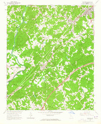
1964 Map of Suwanee
USGS Topo · Published 1965About this map
The Chattahoochee River forms the winding western boundary of this 1964 survey, separating Gwinnett County from Forsyth and Fulton. The landscape is a network of small watersheds where Level Creek, Suwanee Creek, and Brushy Creek drain toward the river through a region rapidly transitioning from its agricultural past toward modern development. The influence of the Southern Railway remains evident in the corridor connecting Suwanee and Buford, where established communities and local institutions like Old Suwanee Ch and Level Creek Ch anchor the local social history.
Find a feature on this map
47 named features on this map. Tap any name to fly to it.
Don’t see what you’re looking for? This feature index may not catch every label — zoom into the map to look around manually.
Map Details
Editions of this 1964 Suwanee Map
Other maps of this area

1888 · Atlanta
USGS Topo · 1:125,000

1890 · Suwanee
USGS Topo · 1:125,000

1890 · Atlanta
USGS Topo · 1:125,000

1891 · Gainesville
USGS Topo · 1:125,000

1892 · Atlanta
USGS Topo · 1:125,000

1894 · Suwanee
USGS Topo · 1:125,000

1895 · Atlanta
USGS Topo · 1:125,000

1896 · Monroe
USGS Topo · 1:125,000

1953 · Atlanta
USGS Topo · 1:250,000

1953 · Athens
USGS Topo · 1:250,000