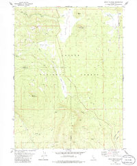
1979 Map of Swain Mountain
USGS Topo · Published 1979About this map
The Lassen Trail winds through this high-country landscape in the late 1970s, marking a corridor of historical transit across the Lassen National Forest. The map captures a rugged transition between the Susan River headwaters and prominent volcanic peaks like Swain Mountain and Jennie Mtn. Resource and transportation infrastructure is well-defined, showing a Cinder Pit near Clover Butte and the Western Pacific line skirting Norvell Flat, including a section of railroad labeled Abandoned. Water sources are abundant across the terrain, from Silver Lake and Lake Norvell to numerous isolated springs such as Robbers Spring and Barrel Spring, illustrating how the drainage patterns of Robbers Creek and its tributaries shaped the land use of the Lassen and Plumas County border region.
Find a feature on this map
29 named features on this map. Tap any name to fly to it.
Don’t see what you’re looking for? This feature index may not catch every label — zoom into the map to look around manually.
Map Details
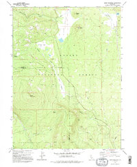
Editions of this 1979 Swain Mountain Map
2 editions found
Other maps of this area

1886 · Honey Lake
USGS Topo · 1:250,000

1886 · Lassen Peak
USGS Topo · 1:250,000

1891 · Honey Lake
USGS Topo · 1:250,000

1892 · Lassen Peak
USGS Topo · 1:250,000

1893 · Honey Lake
USGS Topo · 1:250,000

1894 · Lassen Peak
USGS Topo · 1:250,000

1939 · Halls Flat
USGS Topo · 1:125,000

1955 · Westwood
USGS Topo · 1:62,500

1955 · Westwood
USGS Topo · 1:250,000

1956 · Chester
USGS Topo · 1:62,500