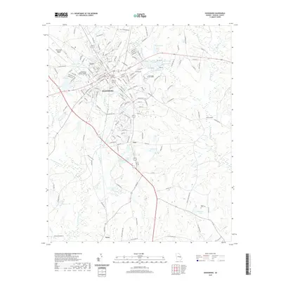
2020 Map of Swainsboro
USGS Topo · Published 2020About this map
Swainsboro serves as the regional hub of Emanuel County, where the Emanuel County Courthouse anchors a street grid that reflects decades of commercial and civic development. The landscape is defined by a series of small, significant water bodies such as Youmans Lake and Lake India, alongside the southward flow of Yam Grandy Cr and Canoochee Cr. These drainages historically influenced the placement of early settlements and road networks.
Find a feature on this map
169 named features on this map. Tap any name to fly to it.
Don’t see what you’re looking for? This feature index may not catch every label — zoom into the map to look around manually.
Map Details
Editions of this 2020 Swainsboro Map
This is the sole edition of this map. No revisions or reprints were ever made.
Other maps of this area

1957 · Macon
USGS Topo · 1:250,000

1958 · Macon
USGS Topo · 1:250,000

1964 · Macon
USGS Topo · 1:250,000

1970 · Covena
USGS Topo · 1:24,000

1970 · Nunez
USGS Topo · 1:24,000

1971 · Norristown
USGS Topo · 1:24,000

1971 · Stillmore
USGS Topo · 1:24,000

1971 · Swainsboro
USGS Topo · 1:24,000

1971 · Dellwood
USGS Topo · 1:24,000

1971 · Twin City
USGS Topo · 1:24,000