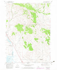
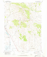
1969 Map of Swan Lake
USGS Topo · Published 1983About this map
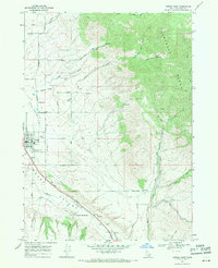
Swanlake and its vital Union Pacific rail sidings anchor this late 1960s study of the Bannock and Franklin County border. The landscape is defined by the sharp contrast between the high peaks of the Portneuf Mountains, including Heart Mountain, and the low, marshy reaches of Oxford Slough and Swan Lake. This corridor was clearly essential for local agriculture and transport, evidenced by the presence of a Grain Elevator and a Storage Bin alongside the railroad tracks.
Find a feature on this map
31 named features on this map. Tap any name to fly to it.
Don’t see what you’re looking for? This feature index may not catch every label — zoom into the map to look around manually.
Map Details
Editions of this 1969 Swan Lake Map
2 editions found
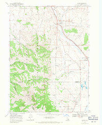
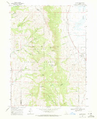
Other maps of this area

1915 · Preston
USGS Topo · 1:96,000

1918 · Preston
USGS Topo · 1:125,000

1954 · Pocatello
USGS Topo · 1:250,000

1955 · Preston
USGS Topo · 1:250,000

1958 · Pocatello
USGS Topo · 1:250,000

1958 · Preston
USGS Topo · 1:250,000

1962 · Preston
USGS Topo · 1:250,000
1968 · Oxford
USGS Topo · 1:24,000
1968 · Clifton
USGS Topo · 1:24,000
1968 · Downey East
USGS Topo · 1:24,000