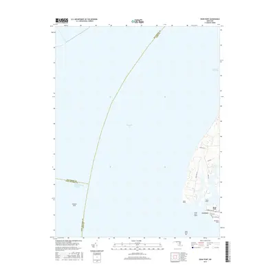
2016 Map of Swan Point
USGS Topo · Published 2016About this map
Rock Hall and Gratitude anchor the eastern shoreline on this survey of the Kent County coast, where the land meets the vast expanse of the Chesapeake Bay. The map documents a maritime landscape defined by points and bars, including the prominent Swan Point and the submerged Swan Point Bar reaching into the bay. Navigational features are prominent, such as the Brewerton Channel Eastern Extension and the Intracoastal Waterway, which underscore the region's importance for shipping and transit toward Baltimore.
Find a feature on this map
22 named features on this map. Tap any name to fly to it.
Don’t see what you’re looking for? This feature index may not catch every label — zoom into the map to look around manually.
Map Details
Editions of this 2016 Swan Point Map
This is the sole edition of this map. No revisions or reprints were ever made.
Other maps of this area

1893 · North Point
USGS Topo · 1:62,500

1893 · Gunpowder
USGS Topo · 1:62,500

1898 · Tolchester
USGS Topo · 1:125,000

1900 · Betterton
USGS Topo · 1:62,500

1901 · Chestertown
USGS Topo · 1:62,500

1901 · Gunpowder
USGS Topo · 1:62,500

1903 · Tolchester
USGS Topo · 1:125,000

1904 · North Point
USGS Topo · 1:62,500

1908 · Tolchester
USGS Topo · 1:125,000

1920 · Chestertown
USGS Topo · 1:62,500
Featured Places
- Rock Hall, MD
- Little Neck Farms, MD
- Deep Landing, Rock Hall
- Gratitude, Rock Hall
- Anne Arundel County, MD