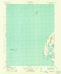
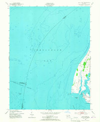
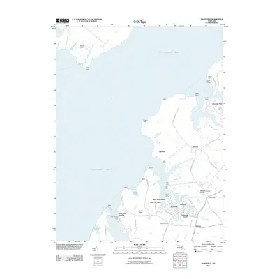
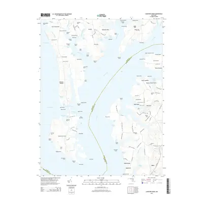
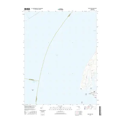
1942 Map of Swan Point
USGS Topo · Published 1942About this map
Chesapeake Bay dominates the western half of this maritime survey, illustrating the complex shoreline of Kent County during the early 1940s. The landward side is defined by the settlements of Edesville No 5 and Fairlee No 6, with the community of Gratitude situated near the southern tip. Coastal features like Tavern Creek and Swan Creek provide a look at the sheltered waterways used by local watermen.
Find a feature on this map
19 named features on this map. Tap any name to fly to it.
Don’t see what you’re looking for? This feature index may not catch every label — zoom into the map to look around manually.
Map Details
Editions of this 1942 Swan Point Map
This is the sole edition of this map. No revisions or reprints were ever made.
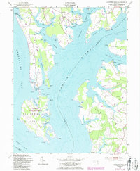
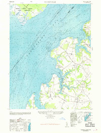
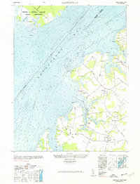
Historical Maps of Rock Hall Through Time
23 maps found
1942 Swan Point
Kent County, MD
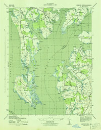
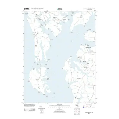
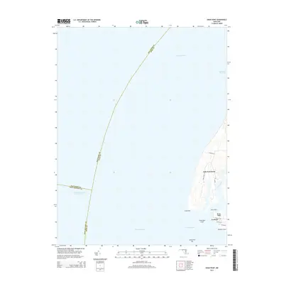
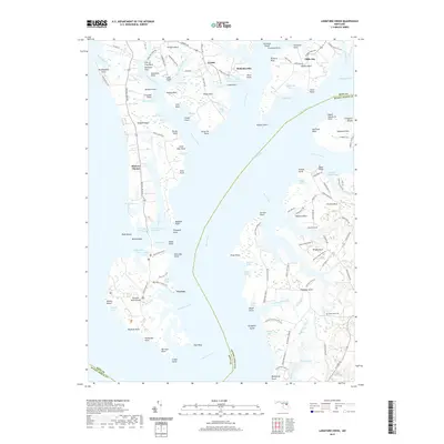
1943 Langford Creek
Kent County, MD
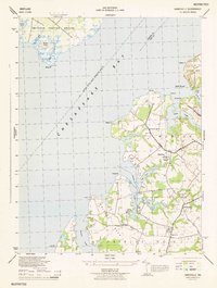
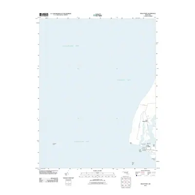
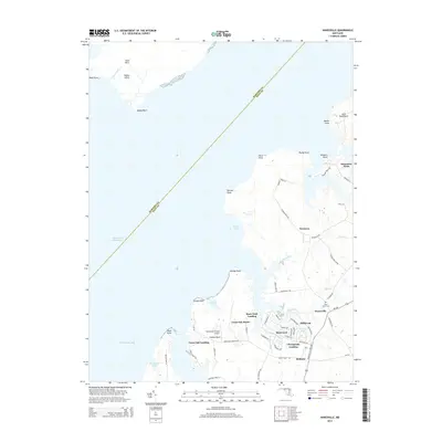
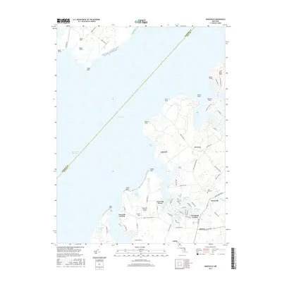
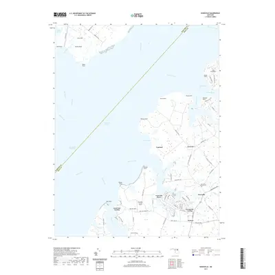
1944 Hanesville
Kent County, MD
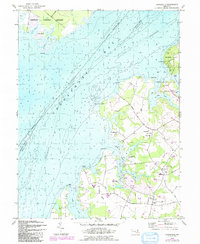
1948 Hanesville
Kent County, MD
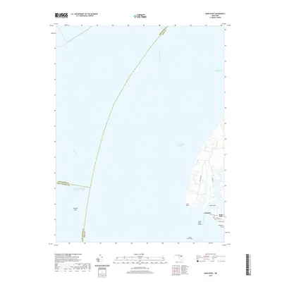
1953 Swan Point
Kent County, MD
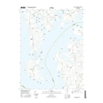
1954 Langford Creek
Kent County, MD
1969 Hanesville
Kent County, MD
1977 Hanesville
Kent County, MD
2011 Hanesville
Kent County, MD
2011 Langford Creek
Kent County, MD
2011 Swan Point
Kent County, MD
2014 Hanesville
Kent County, MD
2014 Langford Creek
Kent County, MD
2014 Swan Point
Kent County, MD
2016 Hanesville
Kent County, MD
2016 Langford Creek
Kent County, MD
2016 Swan Point
Kent County, MD
2019 Hanesville
Kent County, MD
2019 Langford Creek
Kent County, MD
2019 Swan Point
Kent County, MD
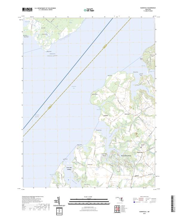
2023 Hanesville
Kent County, MD
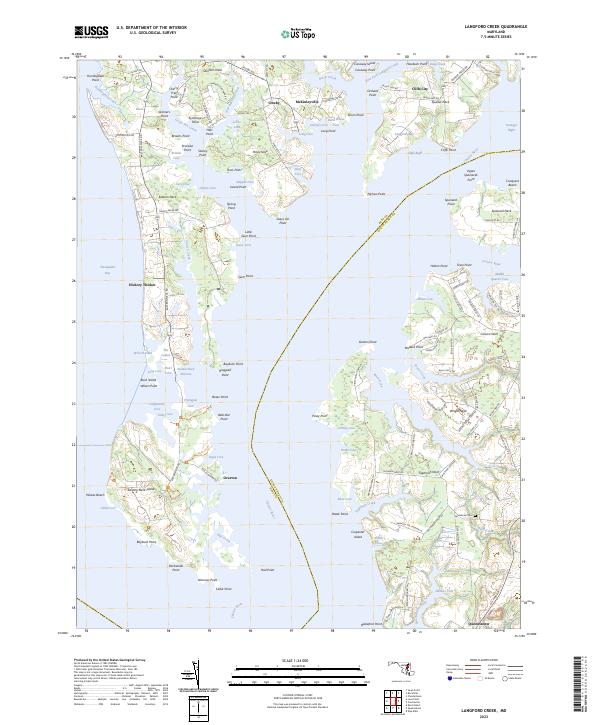
2023 Langford Creek
Kent County, MD
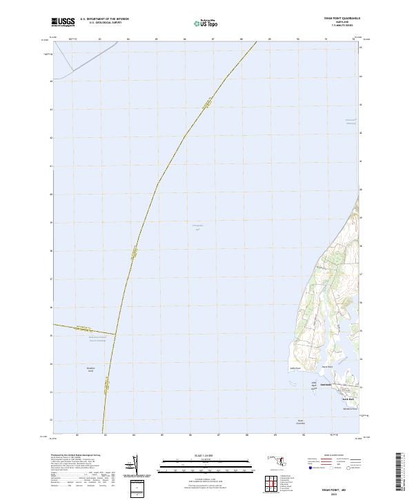
2023 Swan Point
Kent County, MD
Featured Locations
- Anne Arundel County, MD
- Little Neck Farms, MD
- Rock Hall, MD
- Deep Landing, Rock Hall
- Gratitude, Rock Hall