
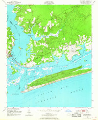
1952 Map of Swansboro
USGS Topo · Published 1954About this map
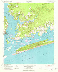
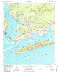
Swansboro sits at the confluence of the White Oak River and the complex tidal waters of Bogue Sound in the early 1950s. This survey, compiled from 1949 aerial photography and field checks, captures the coastal landscape as it transitioned into a more modern military and recreational era. The US Military Reservation (Bogue Airfield) dominates the eastern waterfront, while the northern interior remains heavily wooded under the Croatan National Forest, marked by the Peletier Fire Tower. Navigation is a central theme of the map, detailing the Intracoastal Waterway and various channels like Burthen Channel and Main Channel. The long stretch of Bogue Banks protects the sound from the Atlantic Ocean, punctuated by a solitary Coast Guard Station near the shifting sands of Bogue Inlet. Small communities like Peletier, Cedar Point, and Bucks Corner provide a look at mid-century settlement patterns along the region's early road network.
Find a feature on this map
49 named features on this map. Tap any name to fly to it.
Don’t see what you’re looking for? This feature index may not catch every label — zoom into the map to look around manually.
Map Details
Editions of this 1952 Swansboro Map
4 editions found
Other maps of this area

1942 · Maysville
USGS Topo · 1:62,500

1942 · Swansboro
USGS Topo · 1:62,500

1948 · Maysville
USGS Topo · 1:62,500

1948 · Swansboro
USGS Topo · 1:62,500

1949 · Salter Path
USGS Topo · 1:24,000

1949 · Masontown
USGS Topo · 1:24,000

1951 · Salter Path
USGS Topo · 1:24,000

1951 · Masontown
USGS Topo · 1:24,000

1952 · Hubert
USGS Topo · 1:24,000

1952 · Browns Inlet
USGS Topo · 1:24,000