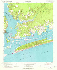
1952 Map of Swansboro
USGS Topo · Published 1973About this map
The White Oak River serves as a natural boundary between Onslow and Carteret counties, anchoring a maritime landscape defined by tidal inlets and maritime forests. In the early 1950s, the development of Cape Carteret and Cedar Point shows the emerging residential patterns along the mainland shore, while the US Military Reservation (Bogue Airfield) establishes a significant federal footprint near Bogue.
Find a feature on this map
46 named features on this map. Tap any name to fly to it.
Don’t see what you’re looking for? This feature index may not catch every label — zoom into the map to look around manually.
Map Details
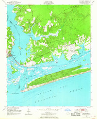
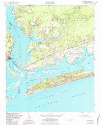
Editions of this 1952 Swansboro Map
4 editions found
Other maps of this area

1942 · Maysville
USGS Topo · 1:62,500

1942 · Swansboro
USGS Topo · 1:62,500

1948 · Maysville
USGS Topo · 1:62,500

1948 · Swansboro
USGS Topo · 1:62,500

1949 · Salter Path
USGS Topo · 1:24,000

1949 · Masontown
USGS Topo · 1:24,000

1951 · Salter Path
USGS Topo · 1:24,000

1951 · Masontown
USGS Topo · 1:24,000

1952 · Hubert
USGS Topo · 1:24,000

1952 · Swansboro
USGS Topo · 1:24,000