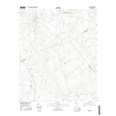
2017 Map of Swansea
USGS Topo · Published 2017About this map
Swansea and Woodford serve as the primary hubs in this central South Carolina landscape, where the borders of Lexington, Calhoun, and Orangeburg counties converge. The area is defined by an intricate network of waterways, including Bull Swamp Cr and Little Bull Swamp Cr, which have historically supported numerous milling operations such as Etheredge Millpond, Brooker Millpond, and Layseth Millpond. For those researching local heritage, the map identifies several significant community centers including Trinity United Methodist Church Cem and Canaan United Methodist Church Cem. The terrain is also marked by many small ponds like Gunter Pond and Shannon Pond, as well as infrastructure landmarks like the Gissendanner Bridge, reflecting a rural economy deeply tied to its water resources and family-named transport routes.
Find a feature on this map
116 named features on this map. Tap any name to fly to it.
Don’t see what you’re looking for? This feature index may not catch every label — zoom into the map to look around manually.
Map Details
Editions of this 2017 Swansea Map
This is the sole edition of this map. No revisions or reprints were ever made.
Other maps of this area

1944 · Edmund
USGS Topo · 1:62,500

1946 · Woodford
USGS Topo · 1:62,500

1946 · St. Matthews
USGS Topo · 1:62,500

1948 · Hopkins
USGS Topo · 1:62,500

1953 · Saylors Lake
USGS Topo · 1:24,000

1954 · Augusta
USGS Topo · 1:250,000

1957 · Augusta
USGS Topo · 1:250,000

1958 · Augusta
USGS Topo · 1:250,000

1961 · Augusta
USGS Topo · 1:250,000

1962 · Augusta
USGS Topo · 1:250,000