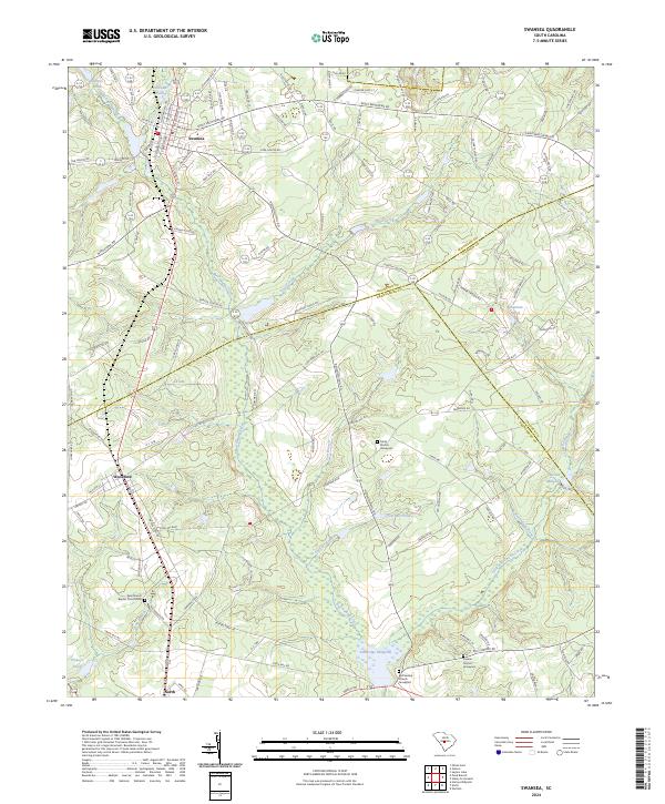
2024 Map of Swansea
USGS Topo · Published 2024About this map
The town of Swansea serves as a central hub in this landscape where the borders of Lexington, Calhoun, and Orangeburg counties converge. The terrain is defined by a dense network of hydrologic features, notably the meandering Bull Swamp Creek and its various tributaries like Cow Branch and Persimmon Branch. The mapping reveals a history of water management and local industry through features such as Etheredge Millpond, Layseth Millpond, and Railroad Pond. Further south, the settlements of Woodford and North anchor the lower portion of the sheet. For genealogists and local historians, the inclusion of sites like Penn Branch Baptist Church Cem, Trinity Church, and Canaan Church provides specific points of interest for tracing family roots and community heritage. The road network, including Saint Matthews Rd and Huckabee Mill Rd, illustrates the connectivity between these small agricultural and residential centers.
Find a feature on this map
125 named features on this map. Tap any name to fly to it.
Don’t see what you’re looking for? This feature index may not catch every label — zoom into the map to look around manually.
Map Details
Editions of this 2024 Swansea Map
This is the sole edition of this map. No revisions or reprints were ever made.
Other maps of this area

1944 · Edmund
USGS Topo · 1:62,500

1946 · Woodford
USGS Topo · 1:62,500

1946 · St. Matthews
USGS Topo · 1:62,500

1948 · Hopkins
USGS Topo · 1:62,500

1953 · Saylors Lake
USGS Topo · 1:24,000

1954 · Augusta
USGS Topo · 1:250,000

1957 · Augusta
USGS Topo · 1:250,000

1958 · Augusta
USGS Topo · 1:250,000

1961 · Augusta
USGS Topo · 1:250,000

1962 · Augusta
USGS Topo · 1:250,000